


Practical Tutorials
GPS and GNSS: what really changes
Discover the differences between GPS and GNSS and why choosing a professional receiver like ProTRACK makes the difference.

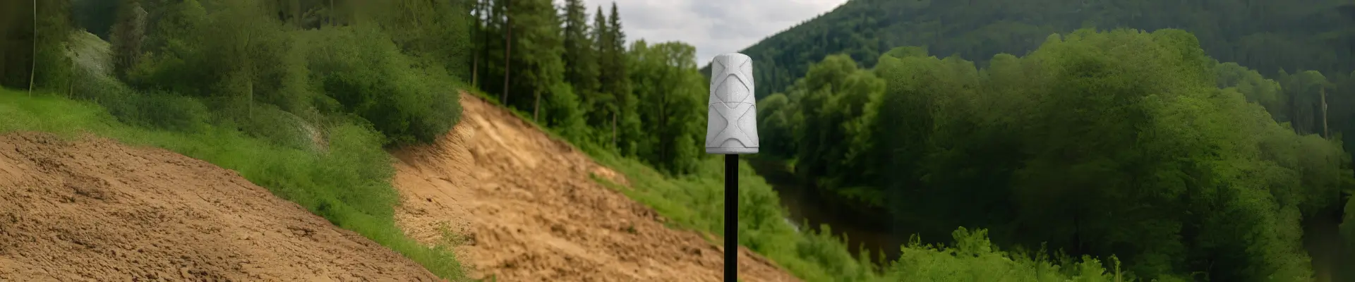
Environmental GPS Surveying: How to Work Safely
Learn how to GPS survey nature without a network. We will explain how to monitor landslides, trails and risk areas with ProTRACK.

GPS on Construction Sites: How to Survey Accurately Without Errors
GPS on construction sites: I explain how to make precise surveys without errors using tools such as ProTRACK and Matterport in a simple and safe way.
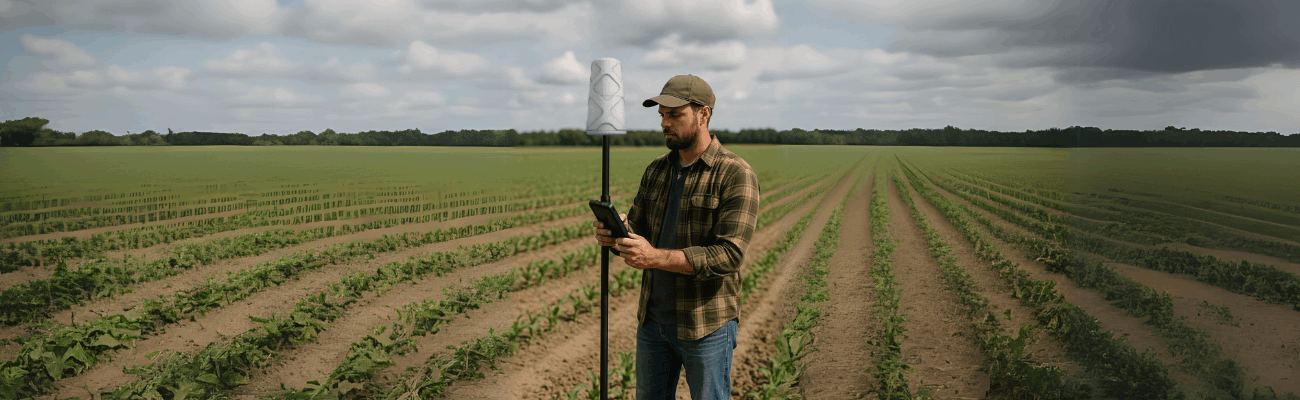
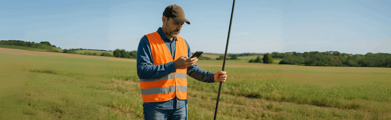
Precision Farming: A Guide to Field Surveying
Discover how precision agriculture works with centimeter-level GPS. Use ProTRACK, the RTK receiver for precise and sustainable field surveys. Improve yield and save costs with the most advanced technology.

Cadastral survey with GPS: everything you need
Learn how to make accurate cadastral surveys with GPS: practical guide, RTK technology and advantages of ProTRACK, even without Internet.
Base + Rover Mobile: Guide for Dynamic Surveys
Discover how to configure a Base + Rover mobile system for dynamic vehicle-based surveys with centimeter-level accuracy, even without a network.
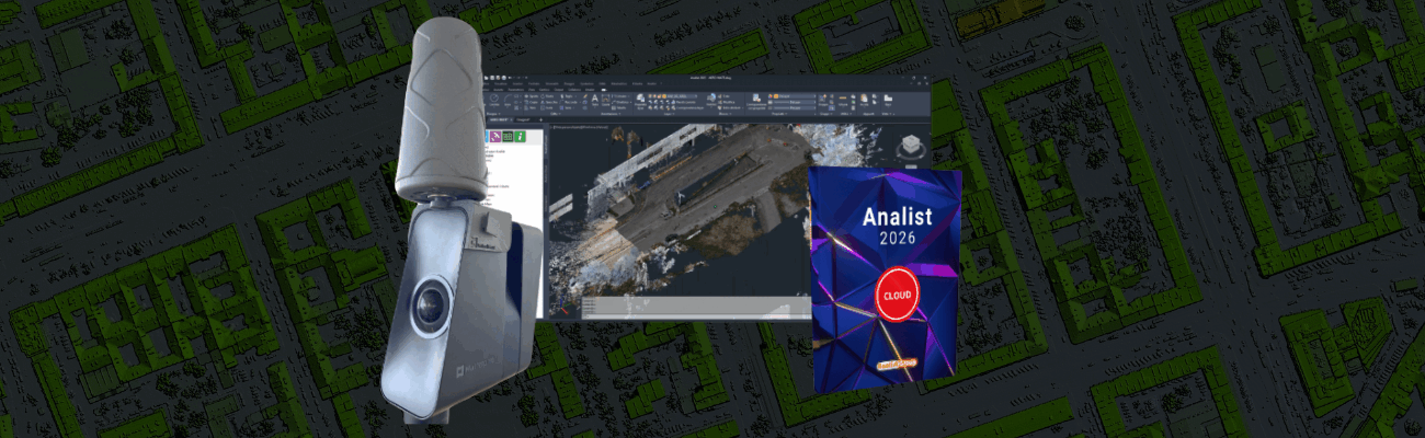
Georeferencing: What It Is, What It’s For, and How to Do It
Discover what georeferencing is, what it is used for, and how to do it easily with ProTRACK, the high-precision GPS compatible with Matterport.

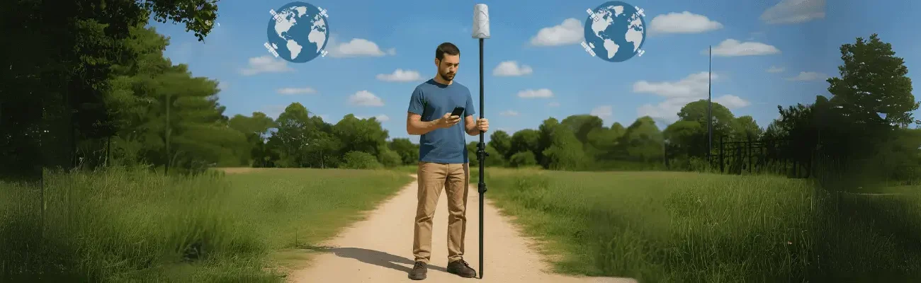
Base + Rover GNSS: What It Is, What It’s For, and How to Set It Up
Want to get centimeter-precise surveys? I’ll explain what a GNSS Base + Rover system is, how it works, and how to easily configure it.
How to make a topographic survey with your smartphone
Today, all you need is an app and a GNSS to do professional topographic surveys from your smartphone. Find out how.

How to choose the ideal GPS for topographic surveys
With GPS technology, topographic surveys are faster and more precise. Discover the modern solution to work anywhere, easily and reliably.
Technologies and Surveys
Environmental GPS Surveying: How to Work Safely
Learn how to GPS survey nature without a network. We will explain how to monitor landslides, trails and risk areas with ProTRACK.
GPS on Construction Sites: How to Survey Accurately Without Errors
GPS on construction sites: I explain how to make precise surveys without errors using tools such as ProTRACK and Matterport in a simple and safe way.
Precision Farming: A Guide to Field Surveying
Discover how precision agriculture works with centimeter-level GPS. Use ProTRACK, the RTK receiver for precise and sustainable field surveys. Improve yield and save costs with the most advanced technology.
Cadastral survey with GPS: everything you need
Learn how to make accurate cadastral surveys with GPS: practical guide, RTK technology and advantages of ProTRACK, even without Internet.
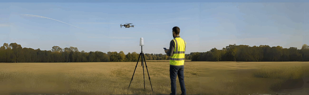
ProTRACK: Also RTK base for drones
Surveying with a drone is easy: discover how to use ProTRACK, the lightweight and precise RTK base that helps you work without complications.
How to make a topographic survey with your smartphone
Today, all you need is an app and a GNSS to do professional topographic surveys from your smartphone. Find out how.