
Environmental GPS Surveying: How to Work Safely
Learn how to GPS survey nature without a network. We will explain how to monitor landslides, trails and risk areas with ProTRACK.
Environmental GPS Surveying: How to Work Safely Read More »
Learn how to GPS survey nature without a network. We will explain how to monitor landslides, trails and risk areas with ProTRACK.
Environmental GPS Surveying: How to Work Safely Read More »

GPS on construction sites: I explain how to make precise surveys without errors using tools such as ProTRACK and Matterport in a simple and safe way.
GPS on Construction Sites: How to Survey Accurately Without Errors Read More »
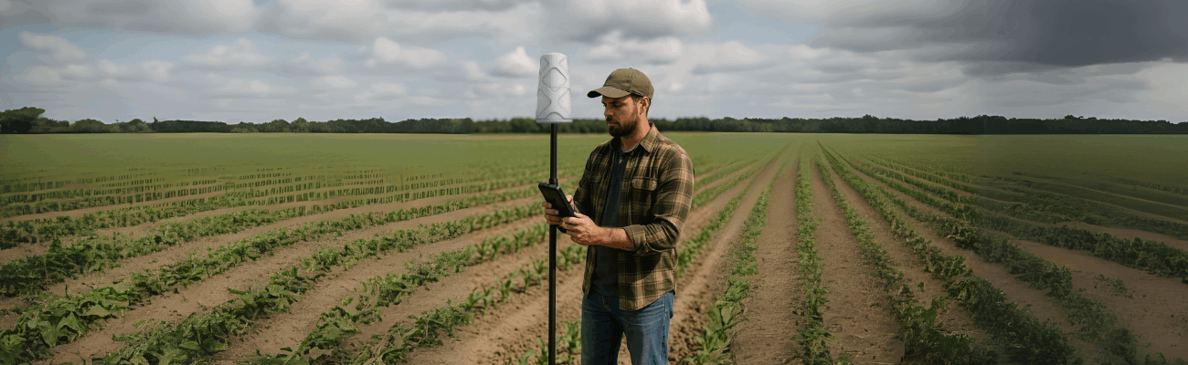
Discover how precision agriculture works with centimeter-level GPS. Use ProTRACK, the RTK receiver for precise and sustainable field surveys. Improve yield and save costs with the most advanced technology.
Precision Farming: A Guide to Field Surveying Read More »

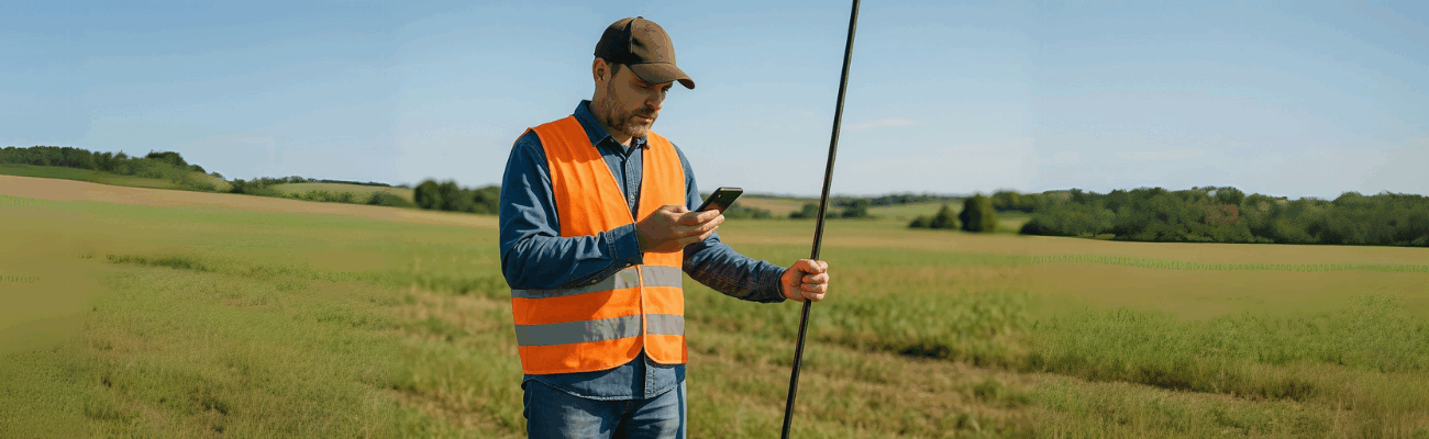
Learn how to make accurate cadastral surveys with GPS: practical guide, RTK technology and advantages of ProTRACK, even without Internet.
Cadastral survey with GPS: everything you need Read More »
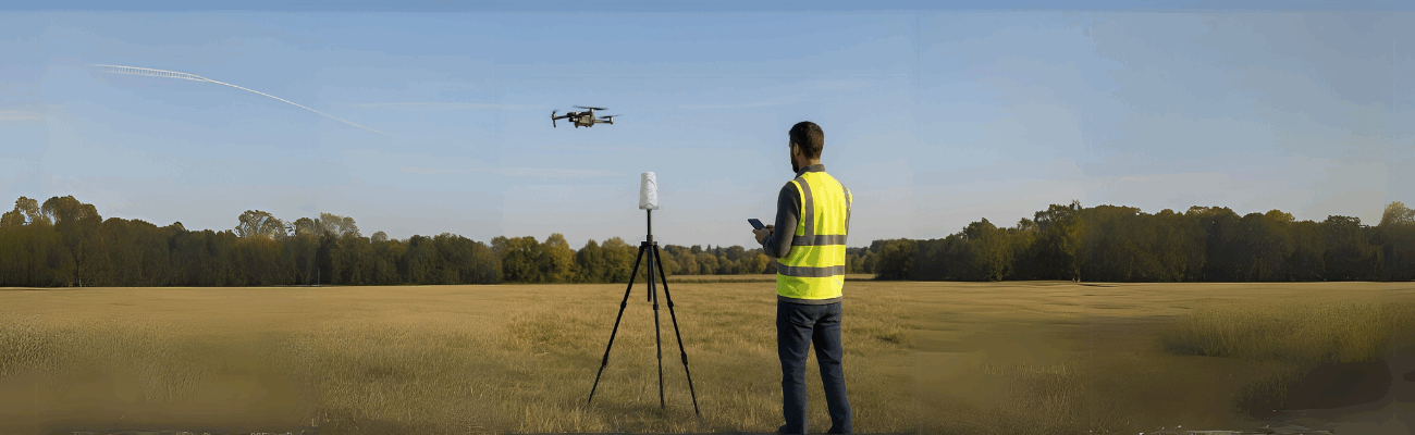
Surveying with a drone is easy: discover how to use ProTRACK, the lightweight and precise RTK base that helps you work without complications.
ProTRACK: Also RTK base for drones Read More »
Today, all you need is an app and a GNSS to do professional topographic surveys from your smartphone. Find out how.
How to make a topographic survey with your smartphone Read More »