Until just a few years ago, performing an accurate topographic survey meant using complex, expensive, and hard-to-manage tools, such as total stations and optical levels. Today, thanks to advances in GNSS technology, it’s possible to achieve professional results in a simple, fast, and accessible way. GNSS receivers use not only GPS but also Glonass, Galileo, and BeiDou constellations, ensuring extremely accurate positioning even in difficult environments such as dense urban areas, forests, or remote zones.
With the right app and a simple smartphone, you can collect data, manage your surveys, document them with georeferenced photos, and work in real time or offline. If you’re wondering how to perform topographic surveys without bulky equipment and with maximum efficiency, the solution exists and it’s called ProTrack.
Until a few years ago, doing an accurate survey required complicated and hard-to-use instruments. Today, everything has changed thanks to new satellite positioning technologies.
You may have already heard of survey GPS, but now the term is GNSS.
GNSS means that, in addition to GPS satellites, it also uses those from the Glonass, Galileo, and BeiDou constellations. The advantage? You can achieve much more precise positions, even in areas with weak signal, such as near tall buildings, in wooded areas, or remote zones.
Moreover, today’s surveys aren’t just about saying “where a point is,” but also allow adding information: for example, you can indicate whether it’s a tree, a pipe, a manhole, or a road. This way, you create a complete map, also useful for environmental, construction, or agricultural work — as in the case of precision agriculture GPS.
To do all this simply and quickly, there are now smartphone apps that help you configure the GNSS rover, collect points, and add all the data you need.
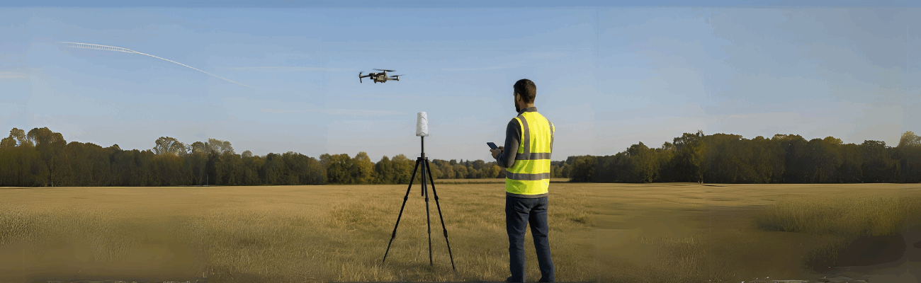
Whether it’s cadastral surveys, topographic surveys, or drone surveys, you can use a GPS instrument for topographic surveys or a GPS station for topographic surveys to achieve professional results.
Today, the cost is also much more accessible: you can find a low-cost topographic GPS or an affordable RTK GPS with excellent value for money.
This way, you save time, work better, and have everything under control… directly from your phone, with competitively priced tools and precision GPS performance.
The ProTrack solution: accurate surveys within reach
When working in the field, having a reliable and easy-to-use GPS instrument for topographic surveys really makes a difference.
That’s exactly why the ProTRACK solution was created — designed by Analist Group for those seeking professional precision with a practical and immediate system.
The heart of the system is the ProTRACK GNSS receiver which, once turned on, connects via Bluetooth to the Analist Mobile app installed on your Android or iOS smartphone.
The app is designed to simplify the GPS configuration and management work: in just a few steps, you can check the real-time precision level, acquire the points you need, and manage the entire project directly from the field, without having to carry computers, tablets, or extra instruments.
Thanks to RTK technology support, you get centimeter-level coordinates even in difficult environmental conditions.
It’s the ideal solution for those seeking a GPS for cadastral surveys, for topographic surveys, or a GPS for precision agriculture — combining ease of use and professional performance.
Everything you can do with Analist Mobile
The Analist Mobile app isn’t just a control panel: it’s a real survey assistant, always with you. Once connected to the receiver, it allows you to do much more than just acquire points. For example, you can activate the continuous measurement mode, useful when walking along a path or following a road alignment.
Need to measure an inaccessible point, maybe behind an obstacle or in the middle of vegetation? No problem: you can use the triangulation function, which automatically calculates the position starting from other known points.
If you need to perform staking out, the app guides you step by step: thanks to a visual radar, it shows in real time how far you are from the exact point, both horizontally and vertically — a particularly useful feature during a precision GPS topographic survey.
One of the most convenient features is the ability to view cadastral and satellite maps directly in the interface, to immediately compare your cadastral survey with official data.
You can also organize everything in separate layers: roads, buildings, parcels, control points.
If you need to document a point with a photo, you just take it from the app: it will be georeferenced automatically, ready to be used in your reports.
In short, with Analist Mobile, all you need is a smartphone to control, manage, visualize, and document the entire survey — clearly, professionally, and above all, quickly.
Even where there is no internet
One of the most useful features of Analist Mobile is the ability to work without a data connection.
You can activate the Base-Rover mode with two ProTRACK devices: one as a fixed base and the other as mobile.
This way, you create an autonomous RTK network and work accurately even in remote areas.
Export and sharing
Once the survey is complete, you can import the data into Analist CLOUD, where you can process it directly online and export it in your desired formats — to work in the office or share it with colleagues and collaborators.
How to get started
- Download Analist Mobile from the Google Play Store or App Store
- Connect the ProTRACK receiver via Bluetooth
- Set up the survey and start measuring!
For more detailed information and to purchase ProTRACK:
With Analist Mobile and ProTRACK, you can manage the entire survey process directly from your smartphone, with centimeter accuracy and features designed to simplify your life in the field.
It’s a perfect solution for surveyors, geomatics professionals, agronomists, construction technicians, and professionals seeking a powerful yet easy-to-use GPS tool for topographic surveys.